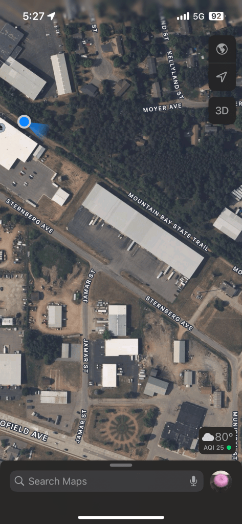
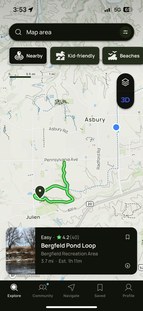
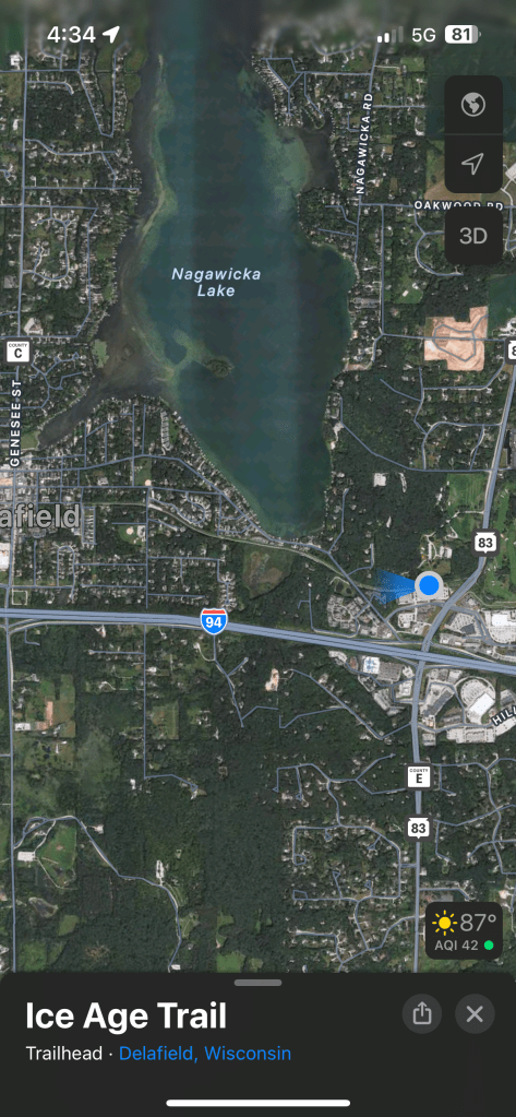
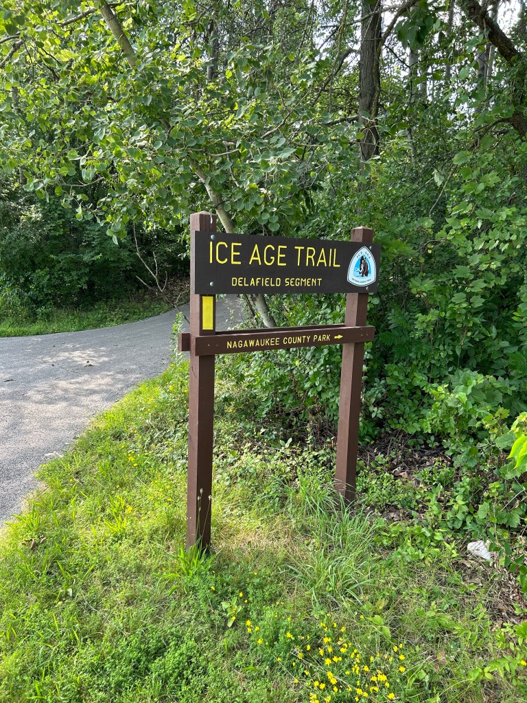
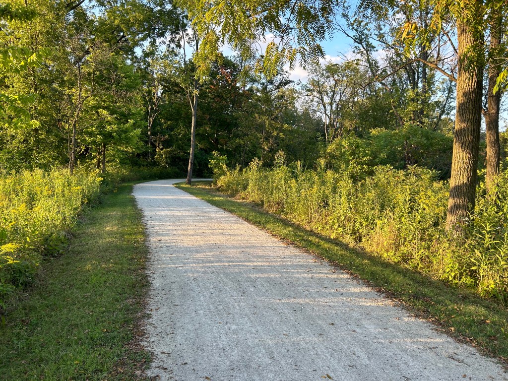
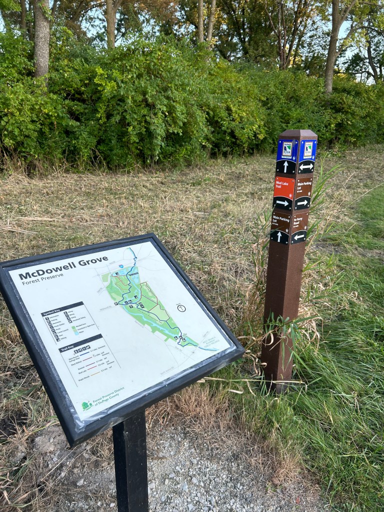
West Branch DuPage River Trail
Run Time: 63:56 + 2-minute kick
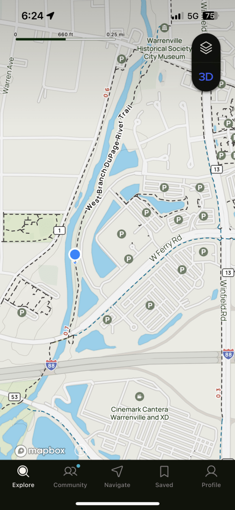
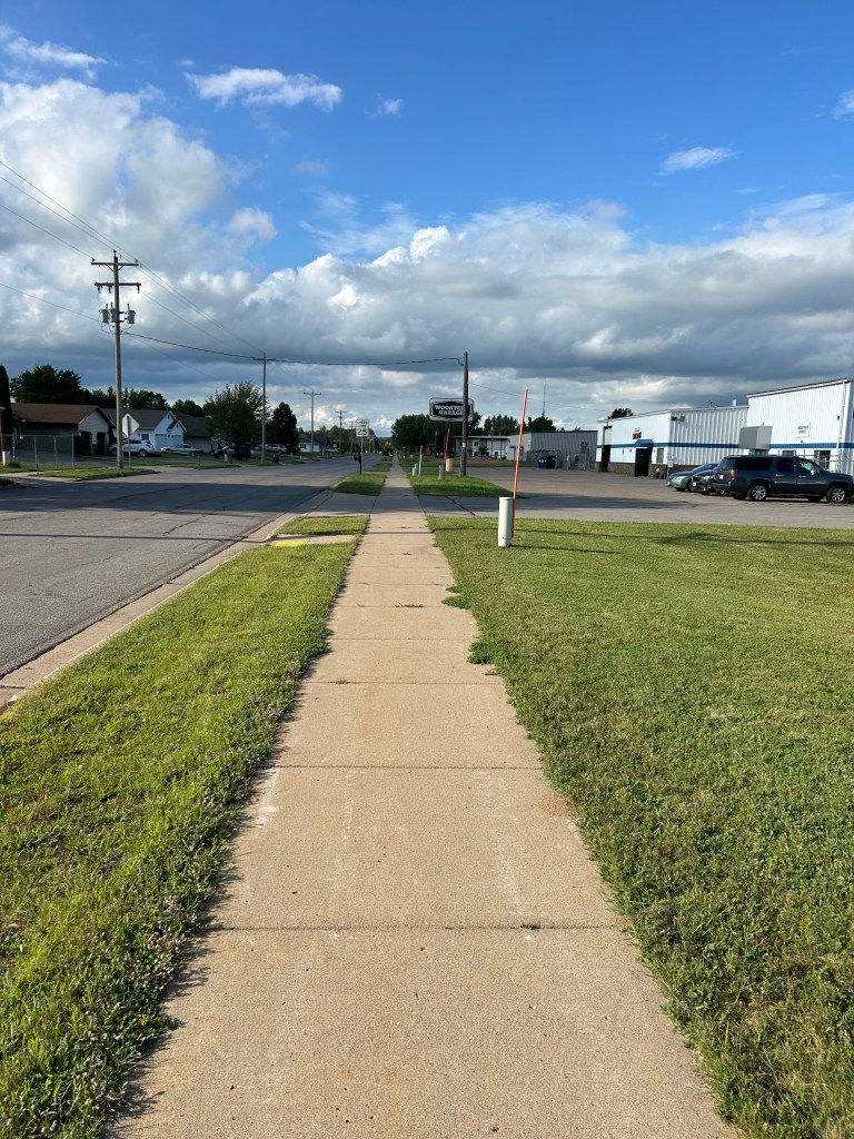
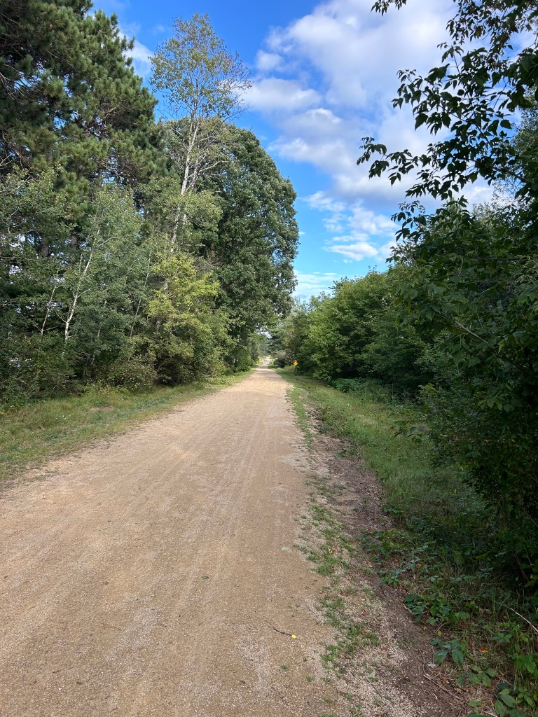
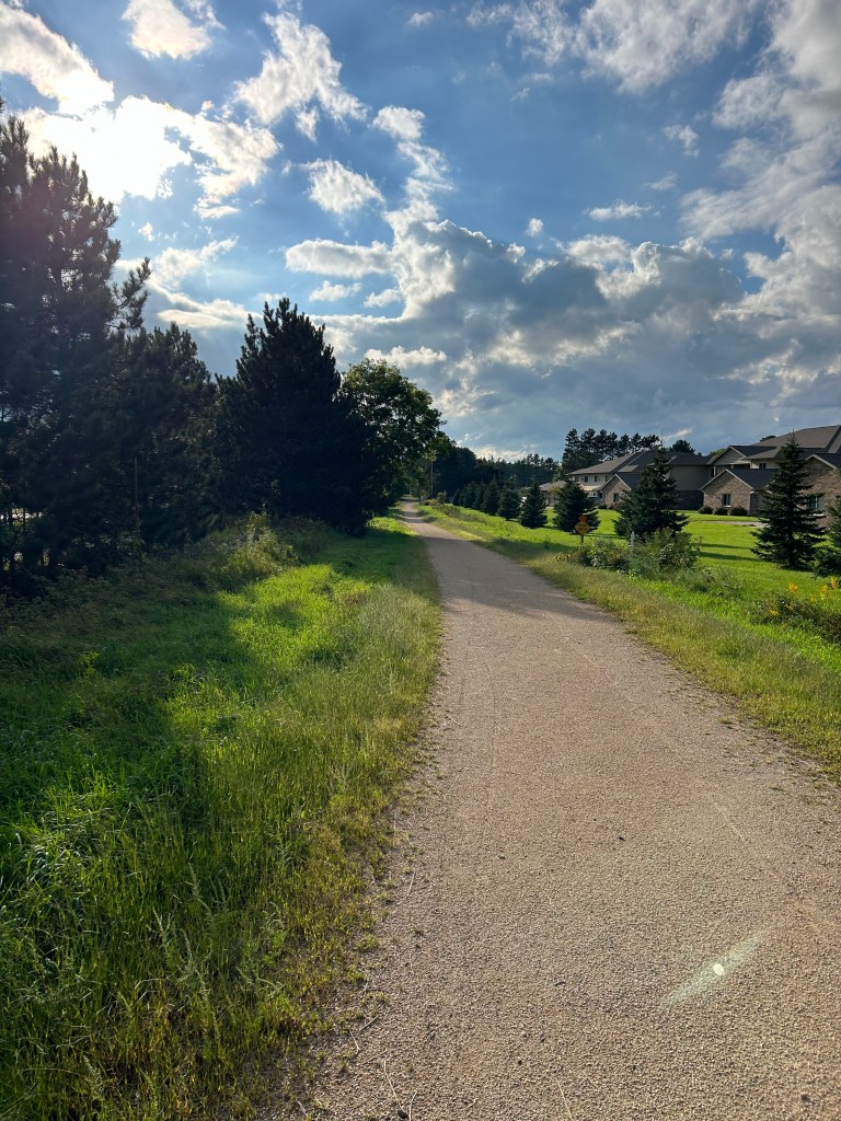
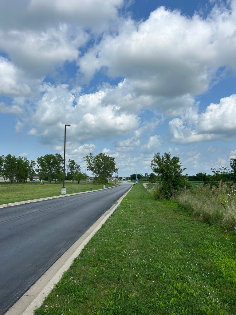
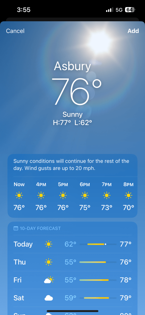
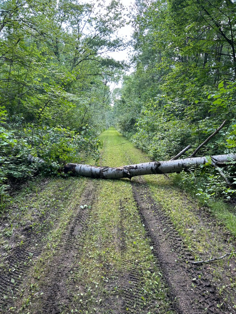
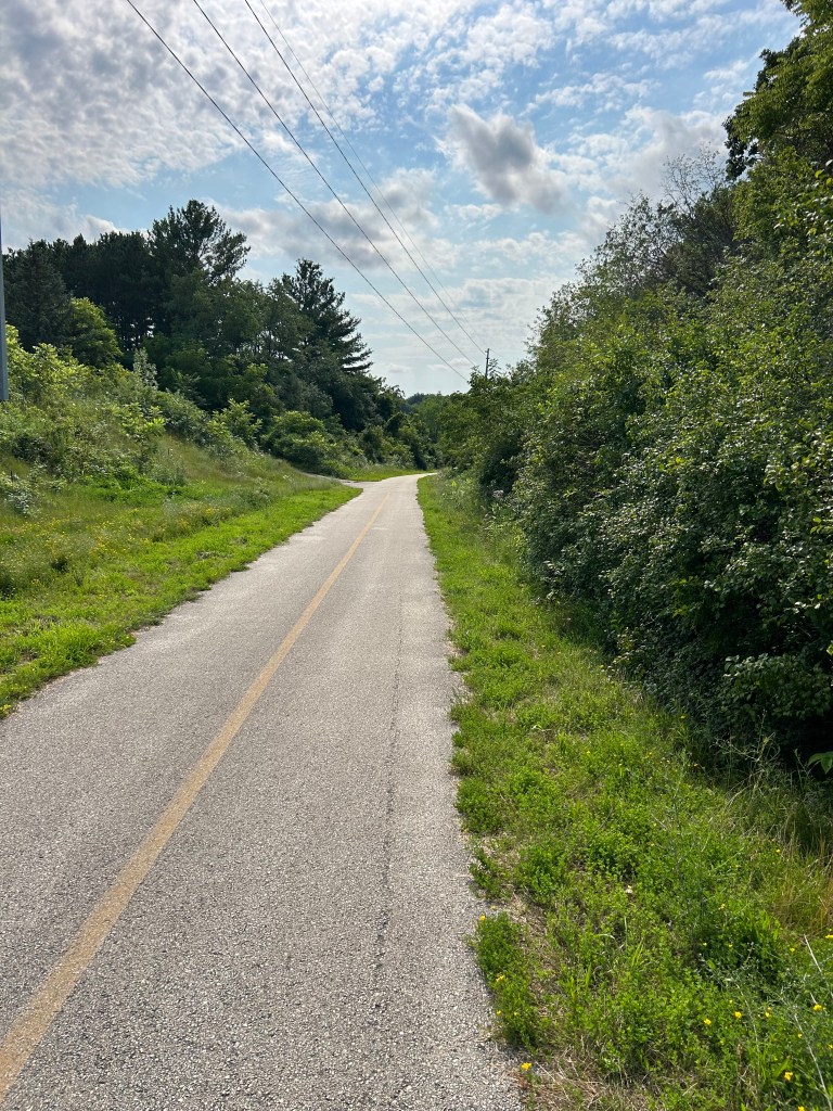
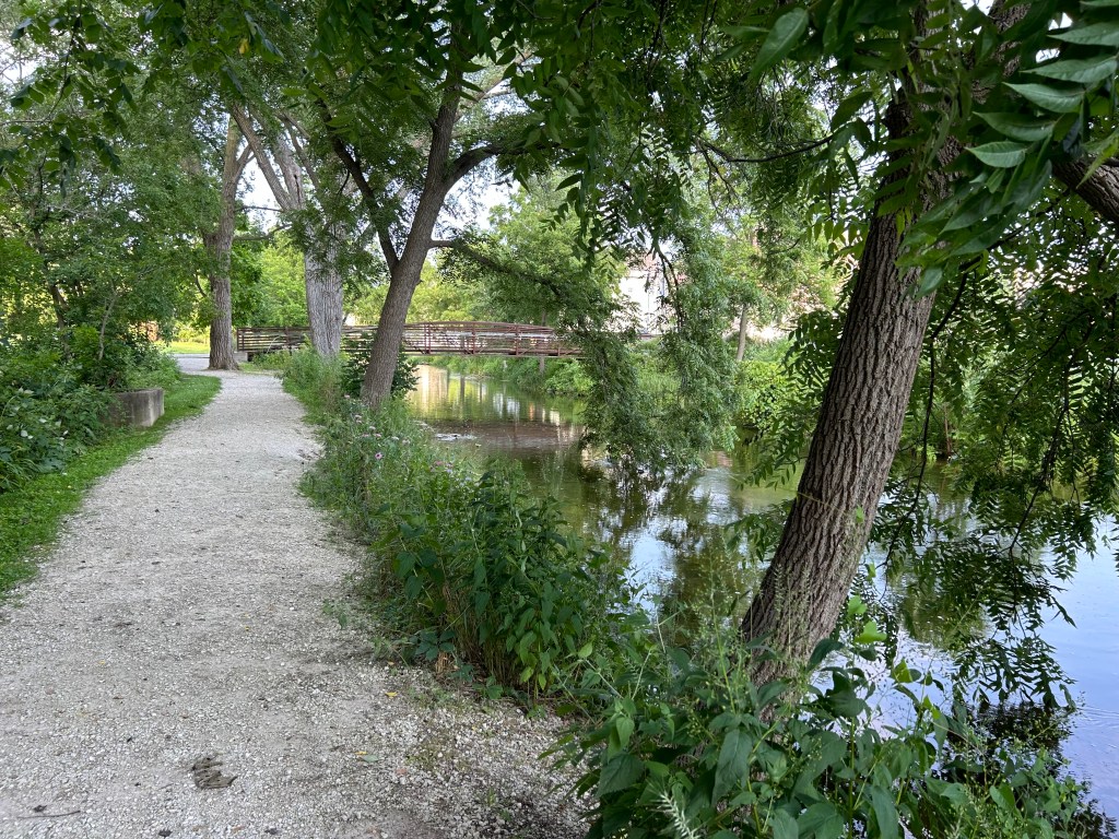
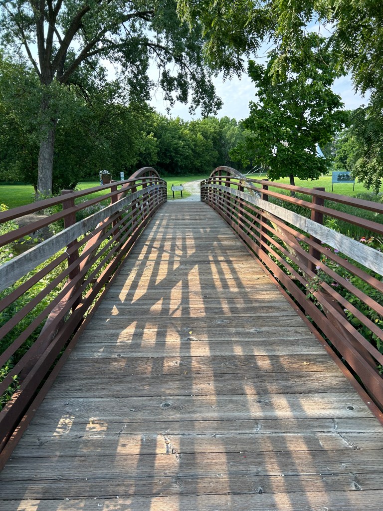
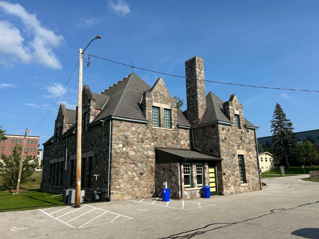
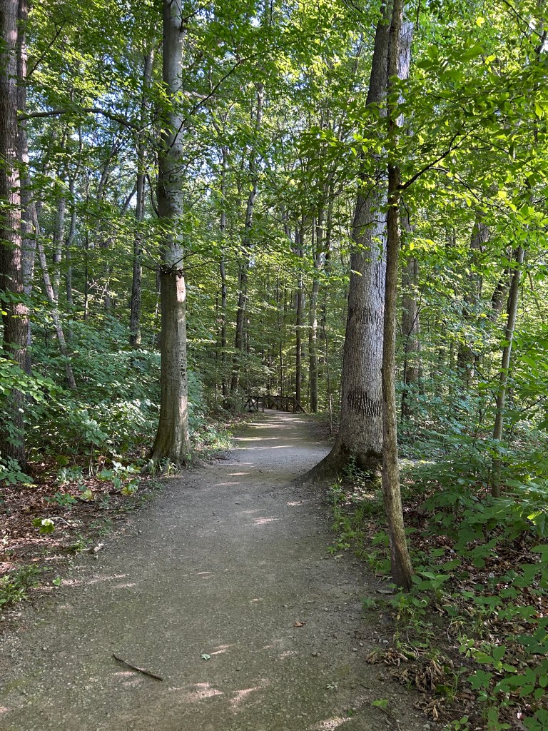
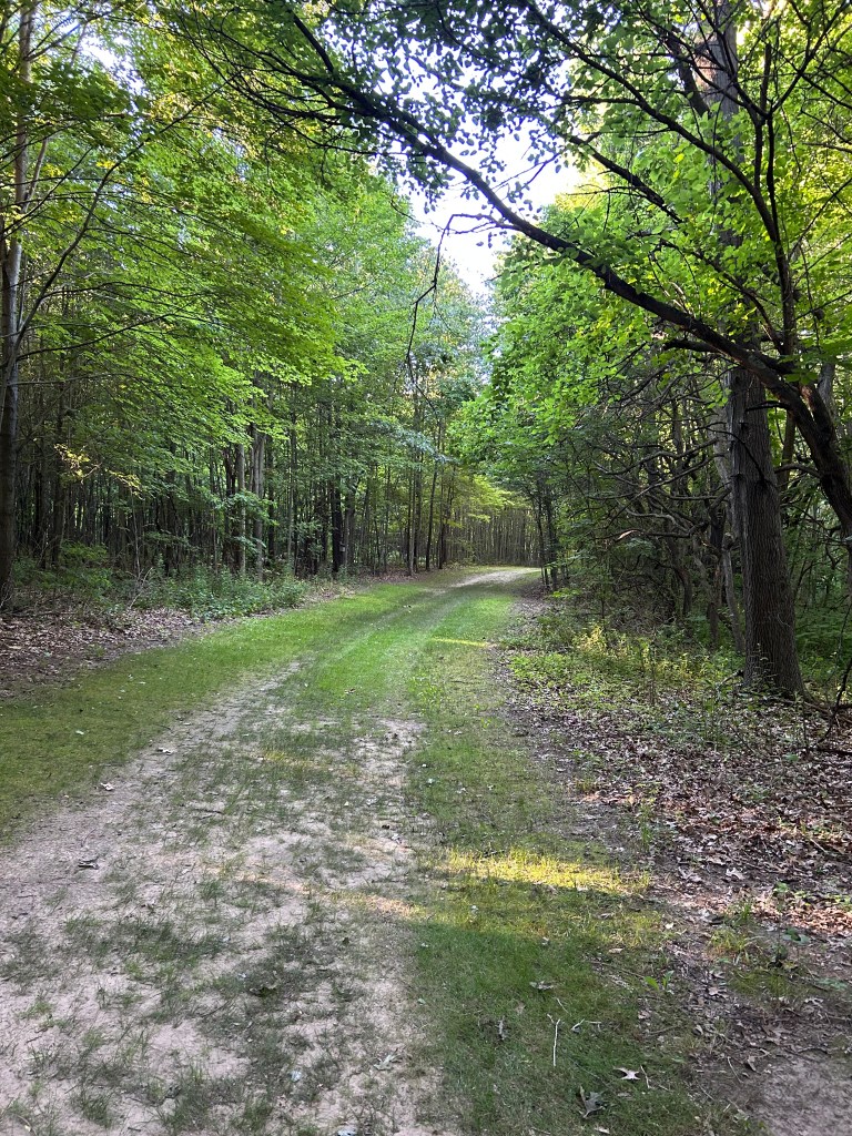
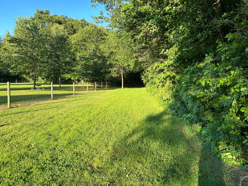
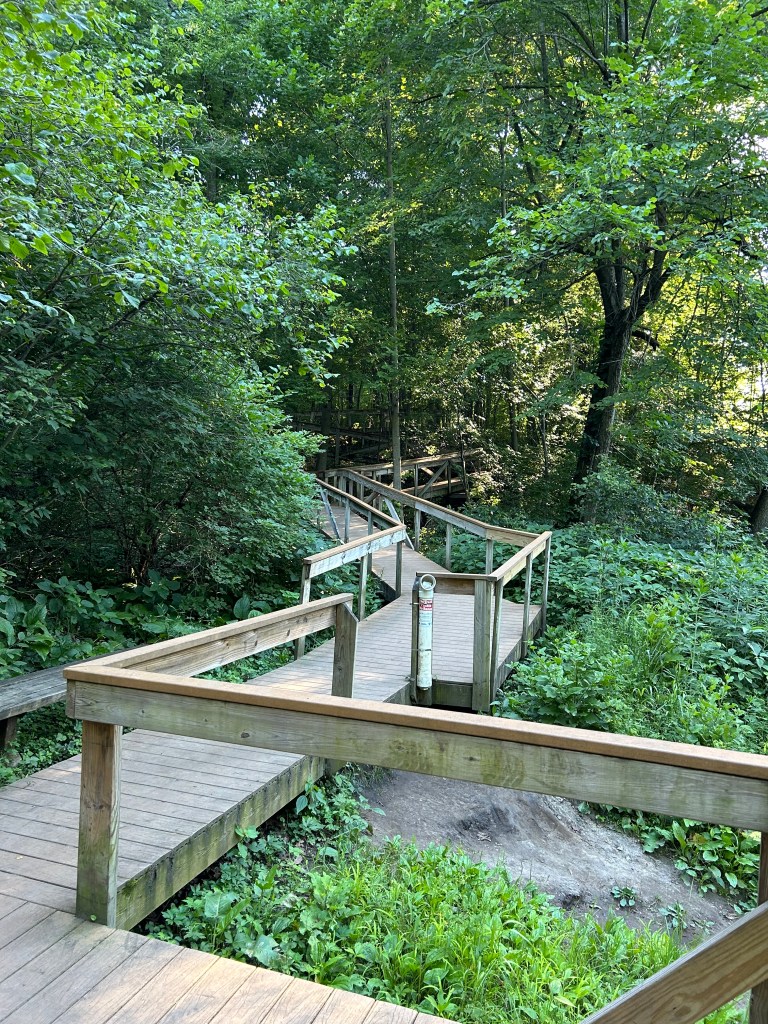
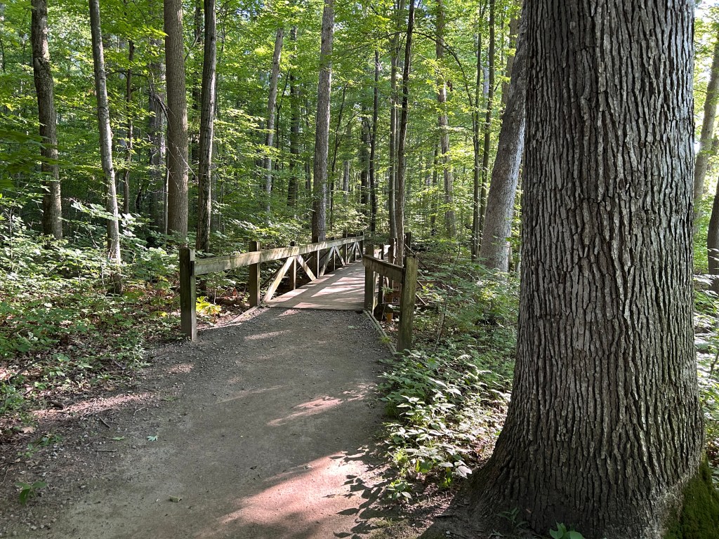
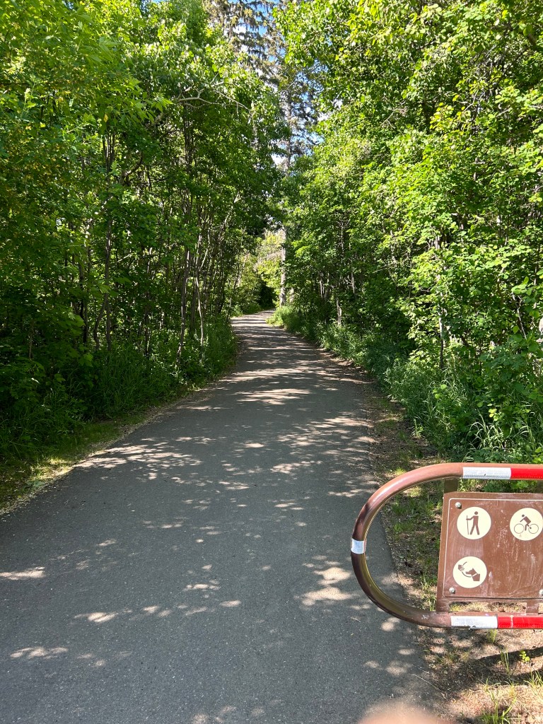
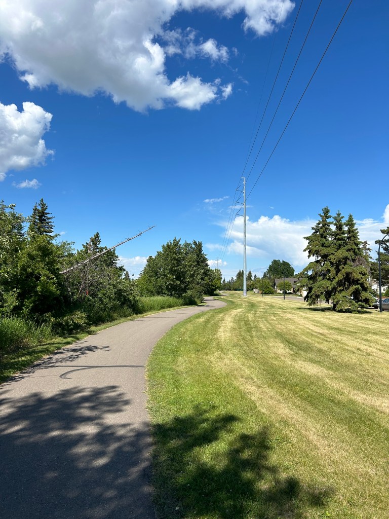
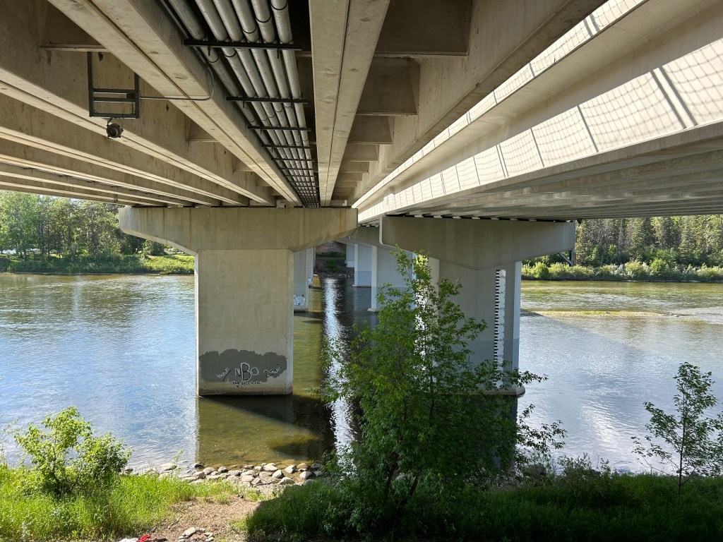
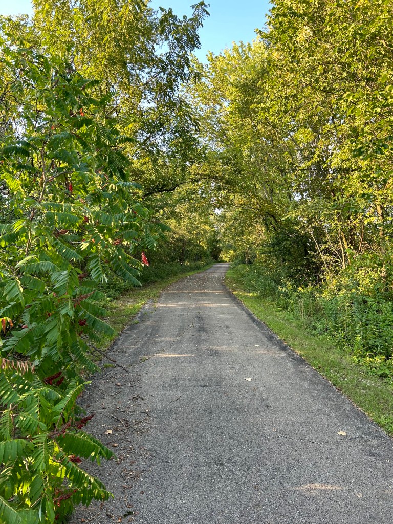
A pleasant urban trail. Just 0.8 mile of sidewalk to the river, and then the rest of the run on cement and dirt/fine gravel. I waited a little later to run, so shade was abundant. Plus, the river was a little lower in elevation than most of the adjacent streets, which reduced traffic noise.
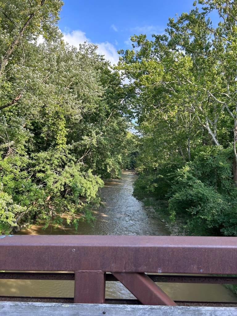
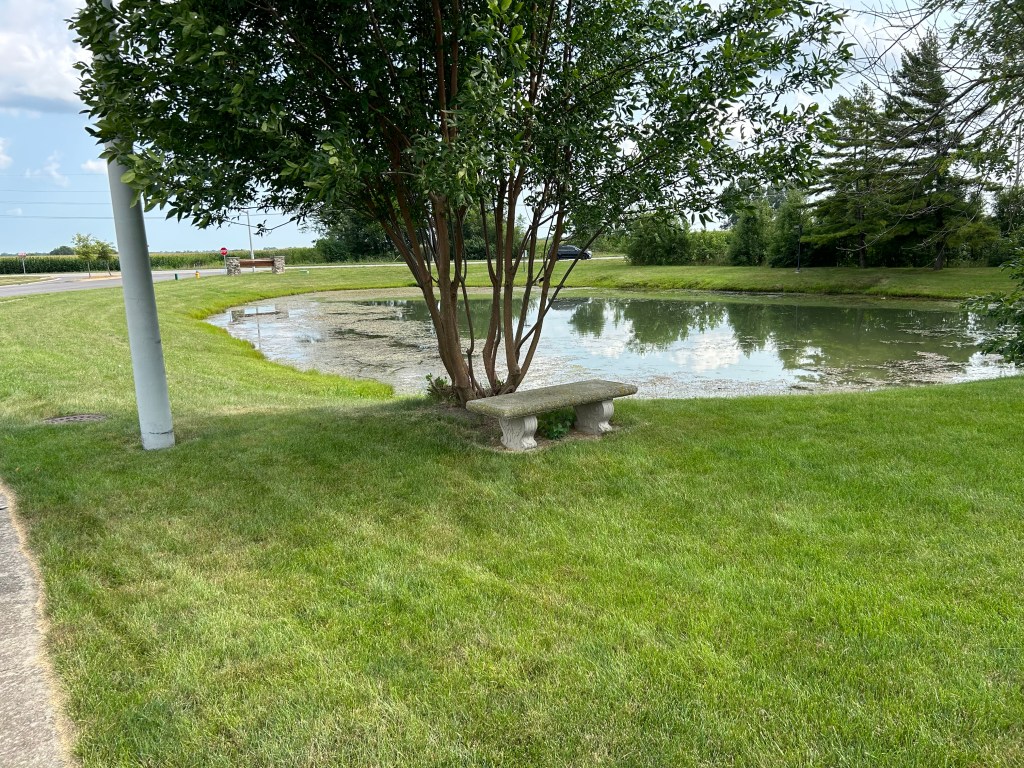
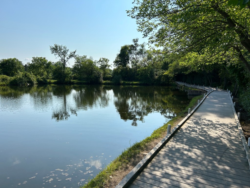
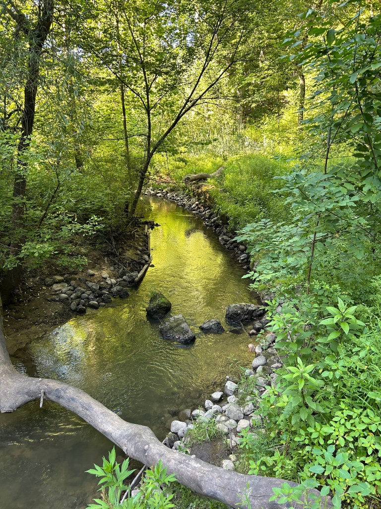
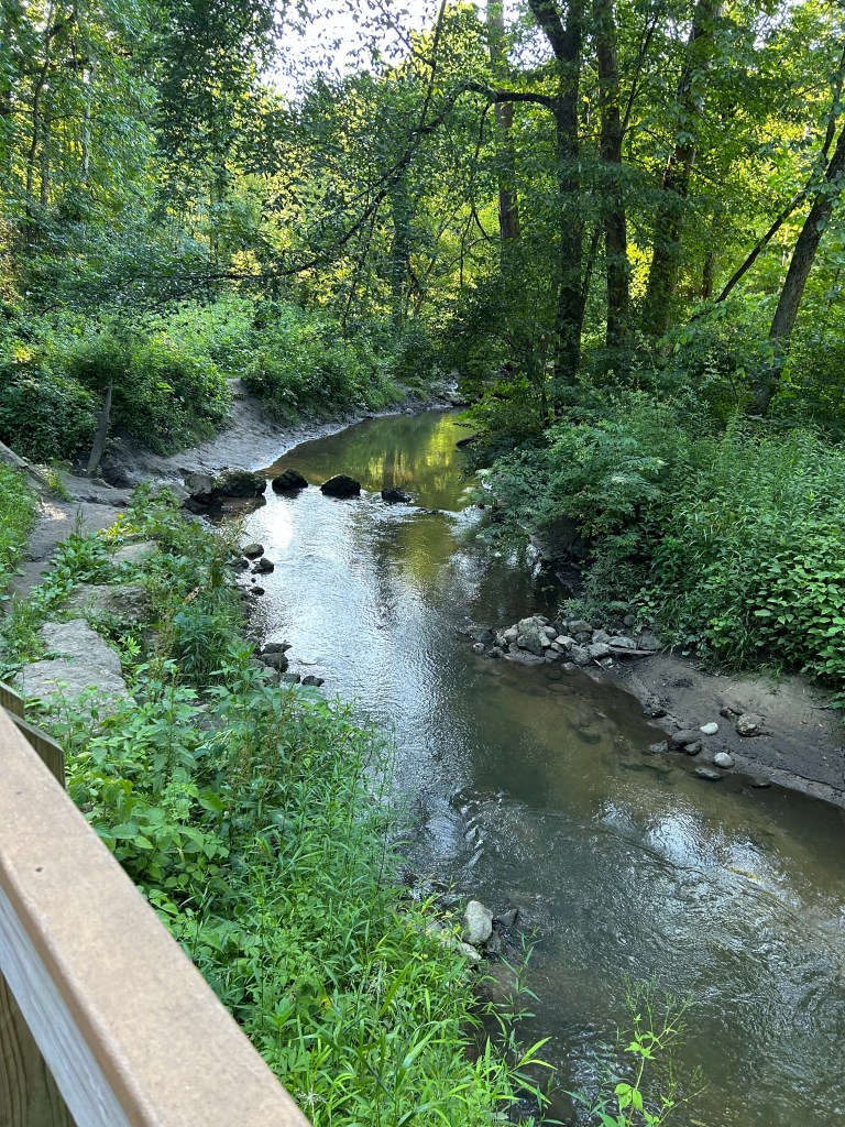
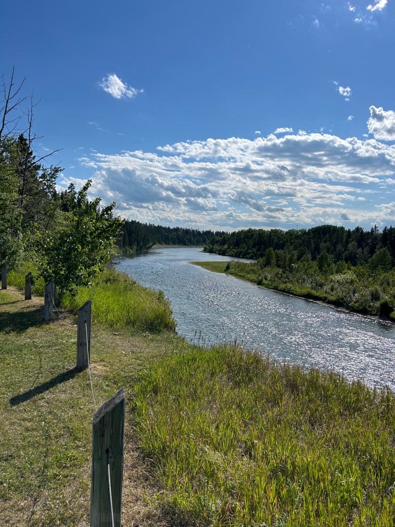
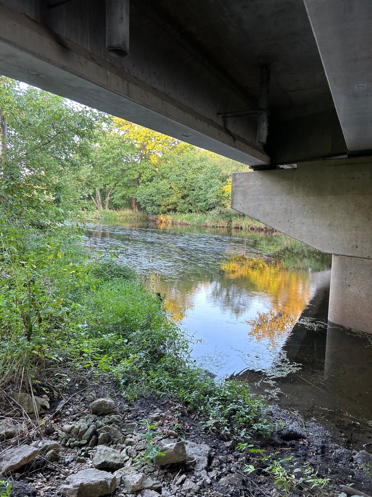
The flow of the DuPage River was suspiciously still. It was pond-like. It did not have a bad smell, and there were occasional ripples, but it did not invite swimming or wading. However, given its proximity to a major metropolis, it was surprisingly riparian.
The next day I visited an account in East Chicago, not far from the Indiana line. There was a sign across the street: Hegewisch Swamp, Established 2001. Really? Established by whom? Seems like the wrong word. Named, maybe. Walking path put in, likely. Sustainability Fund created, probably. Established? I think that swamp has been there a long time.
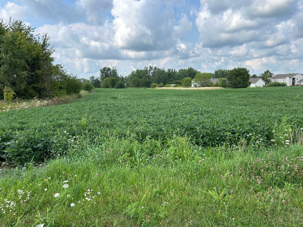
I see a fair amount of swampage in my travels in the Mideast. Swamps, wetlands, marshes, and forested muck is likely the primary established ecosystem conglomeration of this region. It makes you wonder how some settlements were built, and whether or not the occasional log cabin was swallowed whole by a sudden pond.
How desperate were American settlers that this is where they settled? I get it — it’s hard to push or pull a wagon over a mountain range. It was probably tempting once you got past the Adirondacks/Appalachians to just keep on going since it was so flat, but flowing water that you can hear seems so much more comforting than a floodplain.
I’m listening to Robert Caro’s The Power Broker, his biography of Robert Moses, who developed so much of New York City and New York State. It’s fun to contrast those stories with the thought of some council in Hegewisch, circa 1999, saying, “Hey, I know. Let’s establish a swamp.” Moses seems almost biblical in comparison.
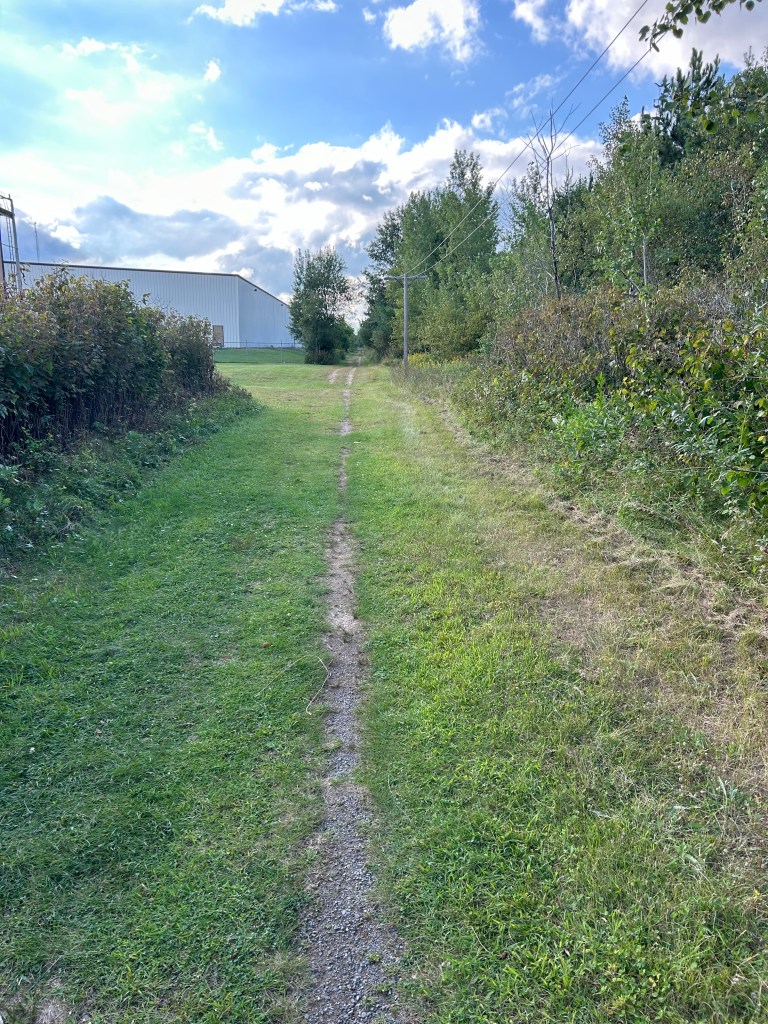
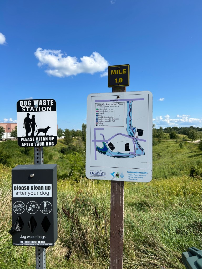
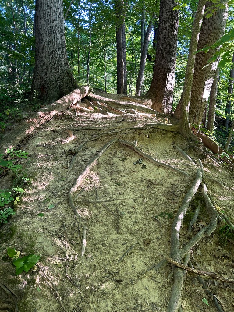
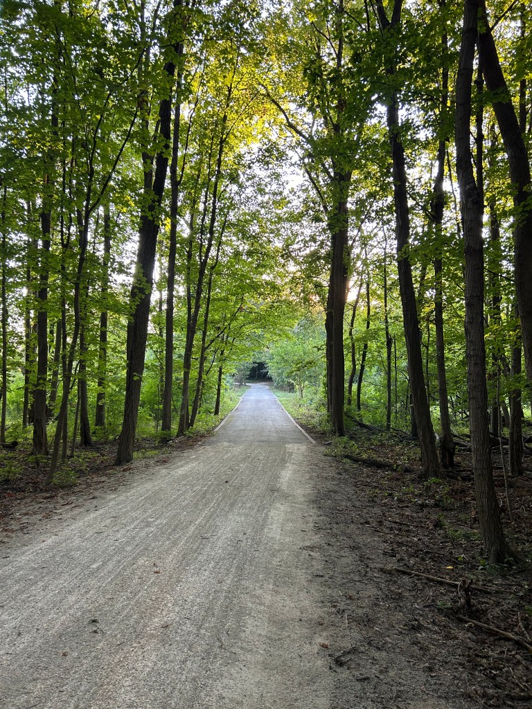
A lot of no swimming/no fishing/no boating signs along this run, which featured a few ponds once the trail broke away from the river and into the forest. The forest was nice — decent-sized trees, a wide trail, few bugs, noticeable coolness. I did see a couple guys with fishing poles, though, so there must be some place to catch something edible.
I don’t mean to pick on local governments. I appreciate the effort to create and maintain these trail systems, especially in the urban areas. I do not want to slog through sidewalk and track runs every day. We were not meant to live on cement.
Next time through Chicago, I’ll stay on the East Side and plan my run for the Hegewisch Swamp Trail. See what all the hype is about.