Iowa Central Community College Campus
Run Time: 42:47 + 2-minute kick
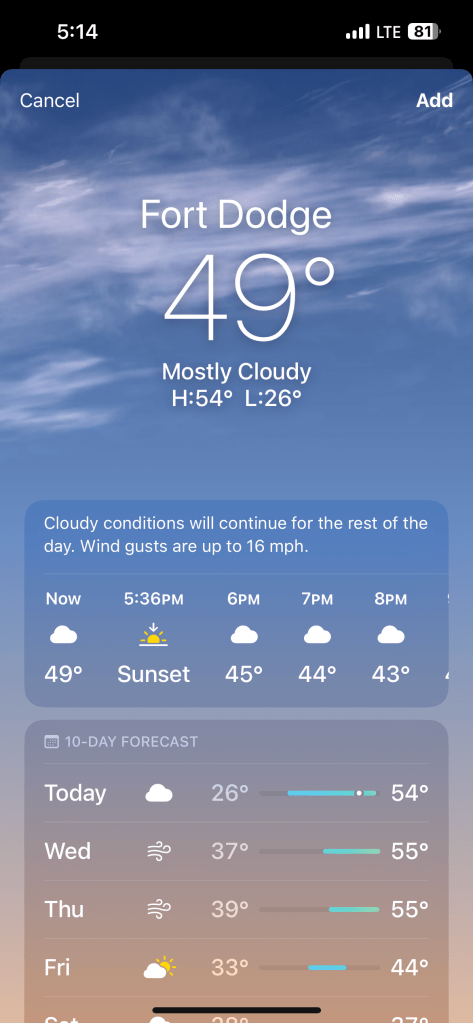
Windy but unseasonably warm. Earlier, while driving in short sleeves, I had to turn the fan on cool to stay comfortable. The sun was heating up the rental car interior like it was June, not February. It was still upper forties when I got to the hotel.
Fort Dodge is just north of US 20, the most crossed thoroughfare of my sales territory. US 20 passes within a few blocks of where my youngest son, Christopher, lives in Corvallis, OR. It bisects Oregon, Idaho, Wyoming, Nebraska, Iowa, Illinois, Indiana, and keeps right on going east. I first tested positive for Covid just a few miles from US 20 in May, 2022, in Waterloo, IA. Some days I cross it multiple times in my work travels.
So US 20 is more of a companion than a thoroughfare. You cannot really say that US 20 is a route of affluence. It is an old route. Old routes in the US do not (or have not yet — maybe there is time) aged into beautiful old relics like the ancient roads of the Old World. Old routes in the US have a lot of houses with peeling paint, old cars, and retired appliances outside. They have strip malls where they snake through small and medium-sized towns. They are generally segmented cement, not smooth asphalt. They are wondering what the hell you are doing there driving on them — haven’t they carried enough toil and trouble?
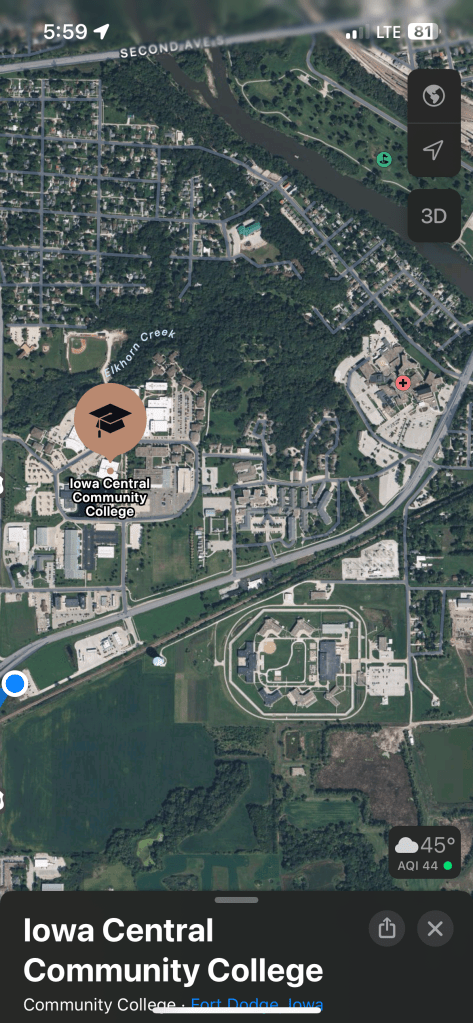
As I turned on the access road to the hotel, I saw a group of people playing soccer on the college campus, but when I looked at my phone map to plan my run, there was no track around the soccer field. Then I noticed, as you might if you look at the map screenshot above, that there was some kind of facility across the railroad tracks within a short walking distance. The blue dot was where I was at the time, in the hotel.
I could just hop over the tracks and see if there was a trail or sidewalk to run on there. Then I wouldn’t have to cross the busy street to get to the college campus. I could see a baseball field in this “park,” but no track. As I zoomed in for a closer look, it seemed like there might be a fence blocking my access near the water tower, which I could see from my hotel. A closer look — it was a high fence. Little chance of scaling it without harm or attracting attention.
It was only later that I took another look and clicked on the map icon, which I did not recognize, to find out what the “park” really was, which was the Fort Dodge Correctional Facility. Well, that clearly would not have panned out. I might have found some running partners, the best US 20 has to offer, but it would have been strangely embarrassing if I had gotten caught trying to scale the fence to get in.
It looked great from the aerial view.